3D Mapping
geolocate 3D scans under the canopy

Hu and Fol et al. 2024
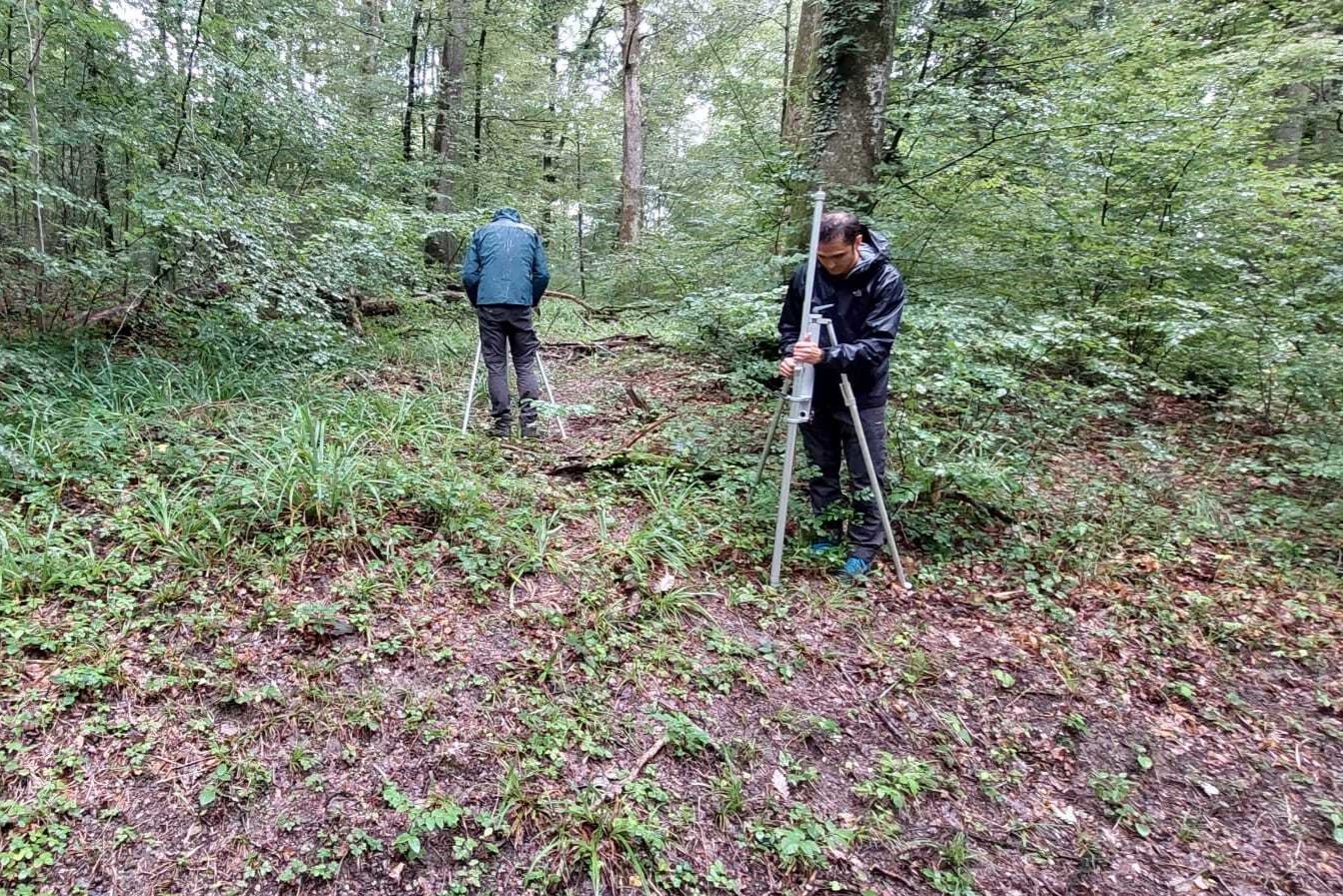
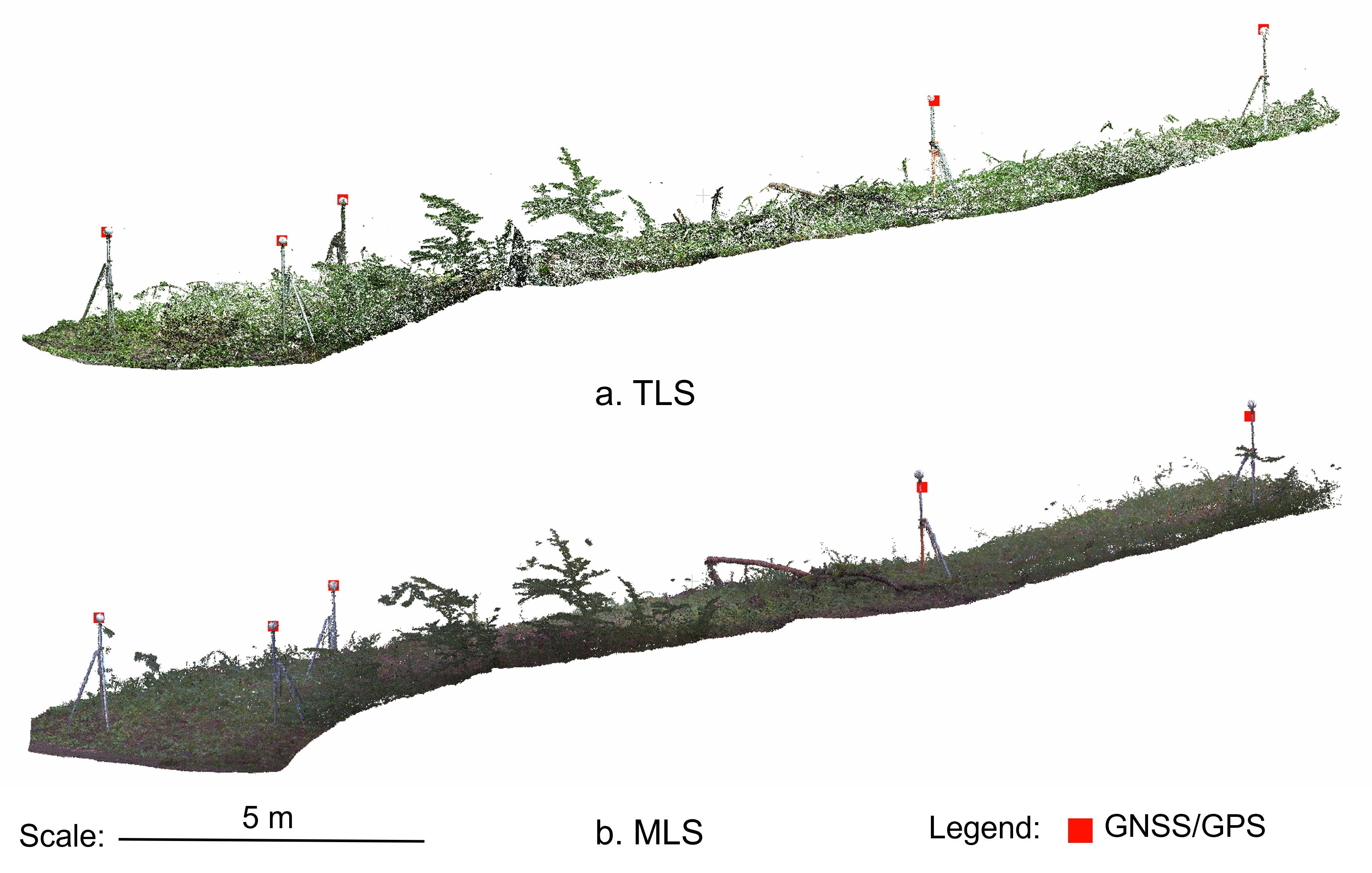
Accurately georeferencing 3D data within forests is challenging due to the canopy obstructing GPS/GNSS signals. This obstacle hinders the integration of 3D scans into geographic information systems (GIS) and potential future applications in mixed reality (MR) headsets for real-time data visualisation. To overcome this challenge, we developed an indirect georeferencing methodology using spheres with known coordinates placed at the forest edge, where GPS/GNSS reception is more reliable. The following image illustrates the results we obtained when our method was applied to mobile and stationary laser scanners (MLS/TLS).

Fol et al. 2023