3D Reconstruction
Automatising the task of biodiversity segmentation

Fol et al. 2023
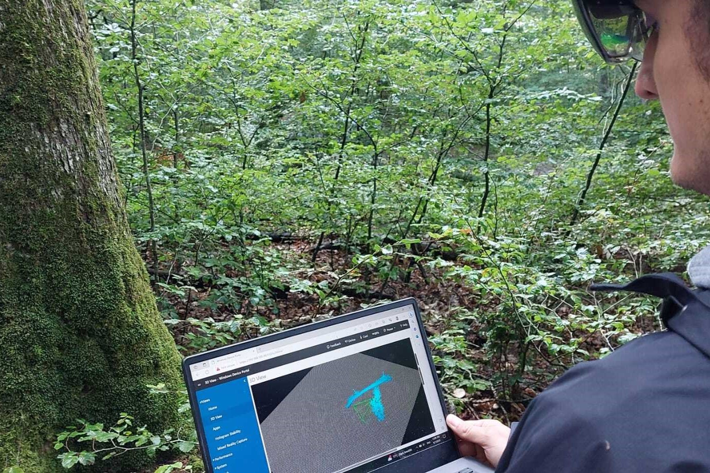
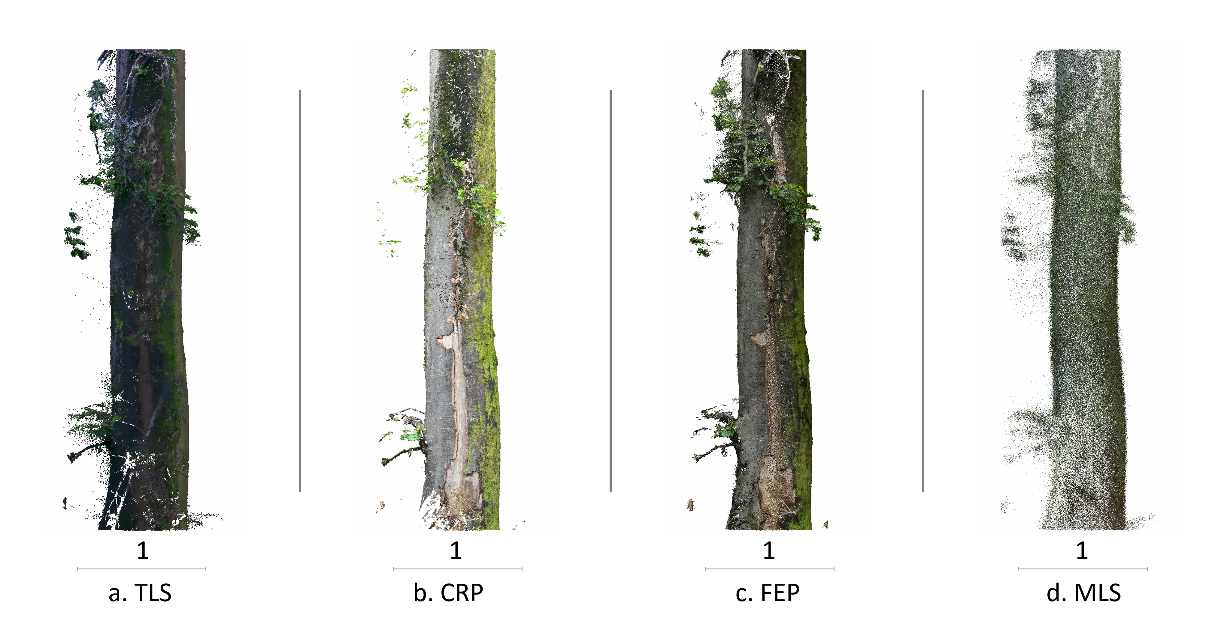
To set up Virtual Forest, 3D mapping is crucial and can significantly enhance future national forest inventory. Although terrestrial laser scanning (TLS) has been adopted to obtain high-resolution 3D data, it is challenging to cover the entire forest with such high resolution. Therefore, we looked for an alternative method to capture tree stems in 3D, which includes small biodiversity indicators such as moss, mushrooms, and ivy. For that purpose, we benchmarked TLS against four 3D mapping techniques: close-range photogrammetry (CRP), fish-eye photogrammetry (FEP), mobile laser scanning (MLS), and mixed-reality depth camera (MRDC).

Fol et al. 2022